Claymine Low Mobility Trail
Trail Description
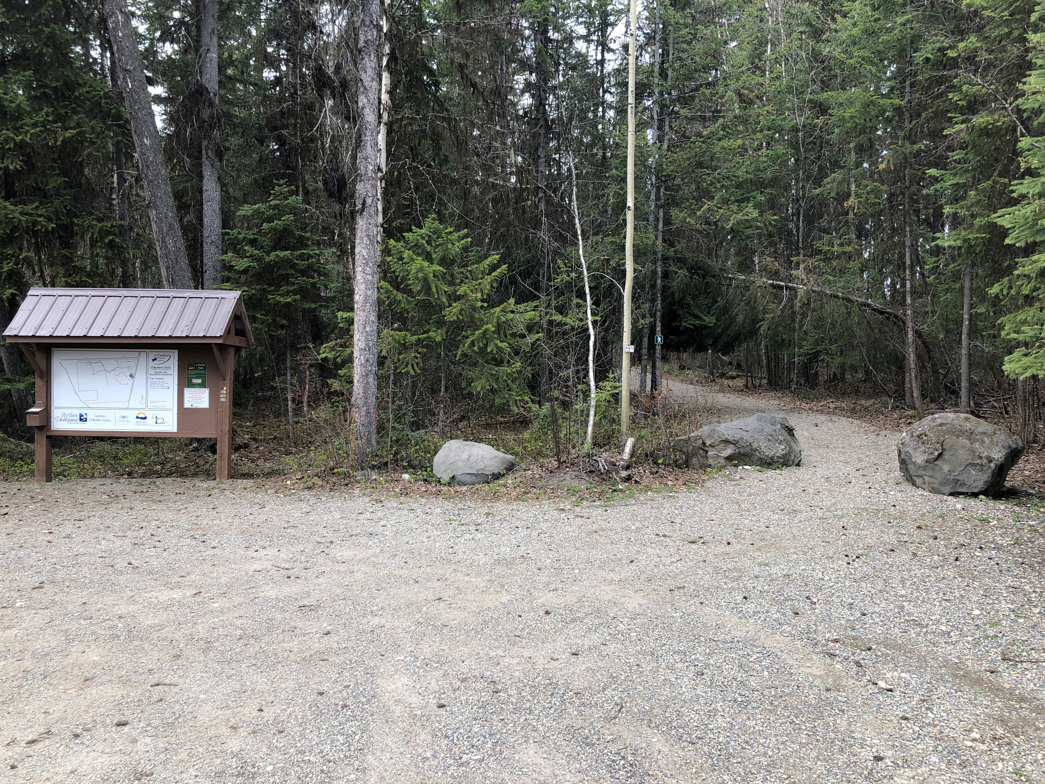
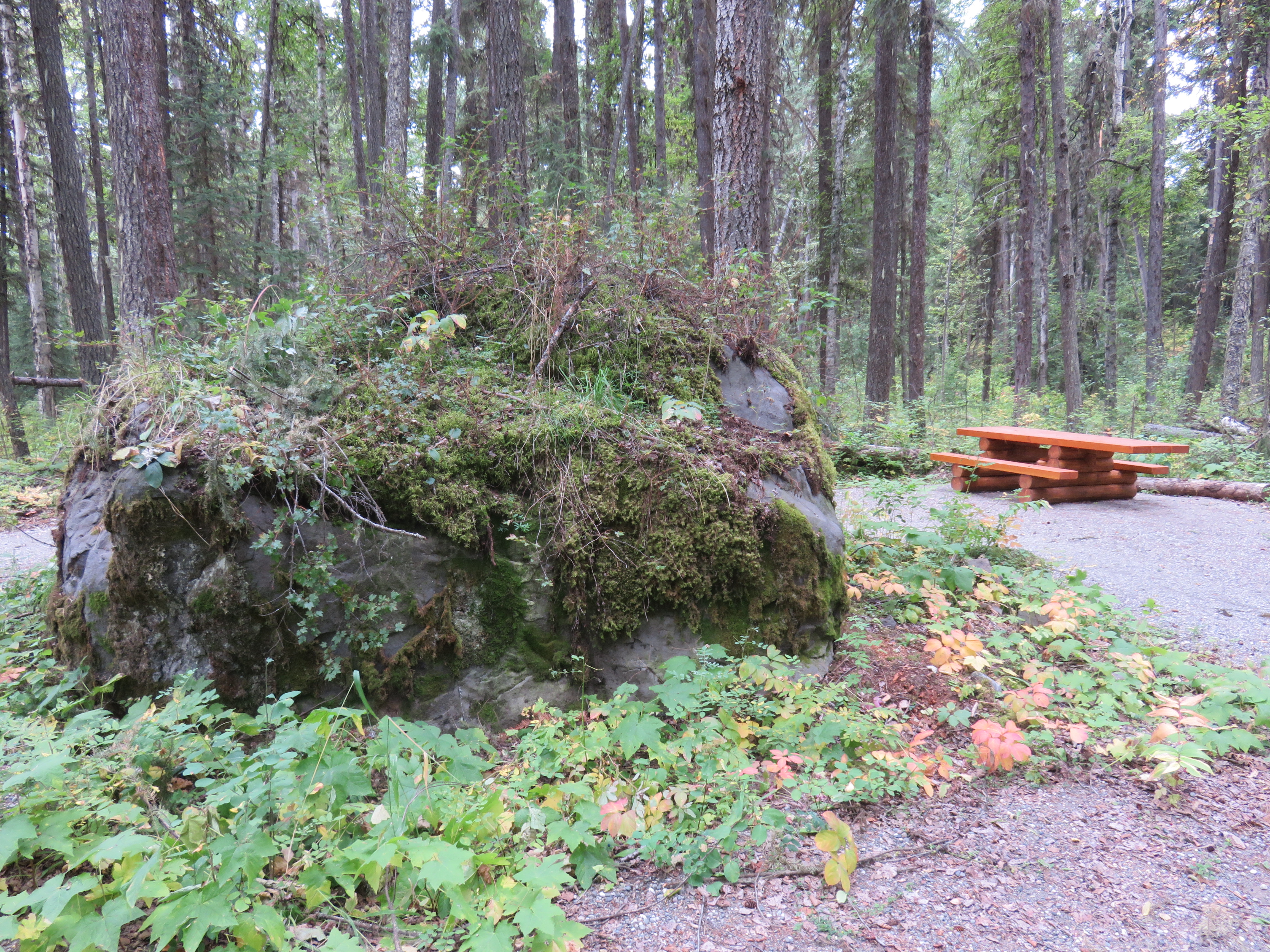
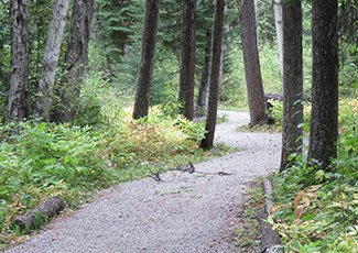
The Claymine Low Mobility trail is approximately 1km long with a gentle grade. It winds through lush forest, looping around a large glacial erratic boulder, before travelling back to the trailhead.
A wide variety of wildlife and bird species can be spotted in the area and there is an active herons' nest in the vicinity of the trail. An accessible outhouse and informational kiosk are available at the trailhead for visitors' convenience and an accessible picnic table is located along the trail.
Ongoing management of the site is provided by the Bouchie Lake Recreation Commission.
Location
53°02′42″N 122°36′12″W
The Claymine Low Mobility Trail is located approximately 15km west of Quesnel.
Directions
From the Quesnel Museum and Visitor Centre on Highway 97 travel southwest for 160 metres on the Moffat Bridge Approach and travel across the bridge for 750 metres.
Turn right on Elliot St. After half a kilometre turn left to stay on Elliott. Bear right on Foster Avenue after one hundred metres and then bear right onto North Fraser Drive after two hundred metres.
Stay on North Fraser Drive for two kilometres and continue forward when the road changes to Blackwater Road. Turn right at Nazko Rd / Centennial Rd to stay on Blackwater Rd and continue for 1.62 kilometres.
Bear right on Claymine Road and continue for 700 metres. The trail will be on the left.
Contact Us
Central Cariboo - Williams Lake
Suite D, 180 North Third Avenue, Williams Lake, BC V2G 2A4
Phone: 250-392-3351
Fax: 250- 392-2812
Toll-Free: 1-800-665-1636
Website
Map this location
