Description
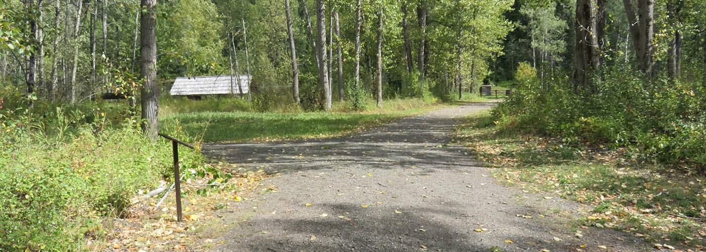
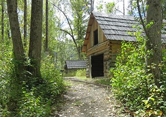
The Quesnelle Forks Low Mobility Trails network consists of approximately 860m of trails, offering unique vantage points of this gold rush ghost town and the junction of the Quesnel and Cariboo Rivers. The trails have a packed crushed gravel surface and gentle grade.
One accessible picnic table and three benches are interspersed along the trails and the site has three accessible outhouses. Quesnelle Forks is a beautiful historic site that features restored pioneer buildings and a historic cemetery and is the location of the earliest mining camp in the Cariboo.
Ongoing management of the site is provided by the Likely and District Chamber of Commerce.
Location
52°39′56″N 121°40′24″W
Quesnelle Forks is located about 110 km northeast of Williams Lake.
Directions
From 150 Mile House, head north on BC-97 N for 1.4 kilometres and turn right onto Likely Road. Continue for four and a half kilometers and turn left to stay on Likely road. Drive for 71.5 kilometres and continue straight to stay on Likely Road. Drive for 6.7 kilometres and continue onto Keithley Creek Road for six hundred metres. Turn left onto Rosette Lake Road and travel for 5.6 kilometres. Continue straight on Quesnel River Road. The trailhead will be on the left.
110 km northeast of Williams Lake. From Highway 97, turn east at the Horsefly Likely Road to follow the Likely Road. Once at the community of Likely, follow Keithley Creek Road and turn onto Rosette Lake Road to access Quesnelle Forks.
Contact Us
Central Cariboo - Williams Lake
Suite D, 180 North Third Avenue, Williams Lake, BC V2G 2A4
Phone: 250-392-3351
Fax: 250- 392-2812
Toll-Free: 1-800-665-1636
Website
Map this location
