Natural Hazards Map

Use the Geotechnical Hazard Map to search properties and view mapped hazard areas in the CRD. 


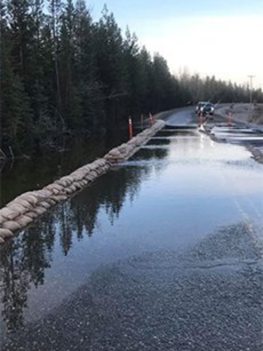
Flood hazard mapping is under development in partnership with the Fraser Basin Council. Work completed to-date can be found here: Fraser Basin Council - Thompson Flood Projects 

For information about emergency preparedness visit our Emergency Preparedness Page.


  • Westrek Qualified Professional opinion on State of Local Emergency for Red Bluff Slide Area (2025) - 702 & 718 Maple Drive, Quesnel
  • Westrek Slope Stability Study (2022) - City of Quesnel & Surrounding Fringe Area

  • Slow Moving Landslide Quick Fact Sheet
  • Slow Moving Landslide 101 - Quesnel Fringe Area

  • Westrek Slope Stability Study (2022) - City of Williams Lake & Surrounding Fringe Area

  • Slow Moving Landslide Quick Fact Sheet
  • Slow Moving Landslide 101 - Williams Lake Fringe Area

  • Hodgson Road Landslide - Freedom of Information and Protection of Privacy Act Disclosure (2023) - Engineers and Geoscientists of BC and Ministry of Transportation and Infrastructure
  • Hodgson Road Land Stability Map

  • Hodgson Road Land Stability Report (2015) - Scouten Engineering

  • Hodgson Road Land Stability Report (2015) - Golder Associates

  • Hodgson Road Land Stability Report (2015) - Evergreen Geotechnical Inc.

  • Geotechnical Hazard Mapping for the Williams Lake Fringe Area OCP - Report
  • Figures 1 to 10

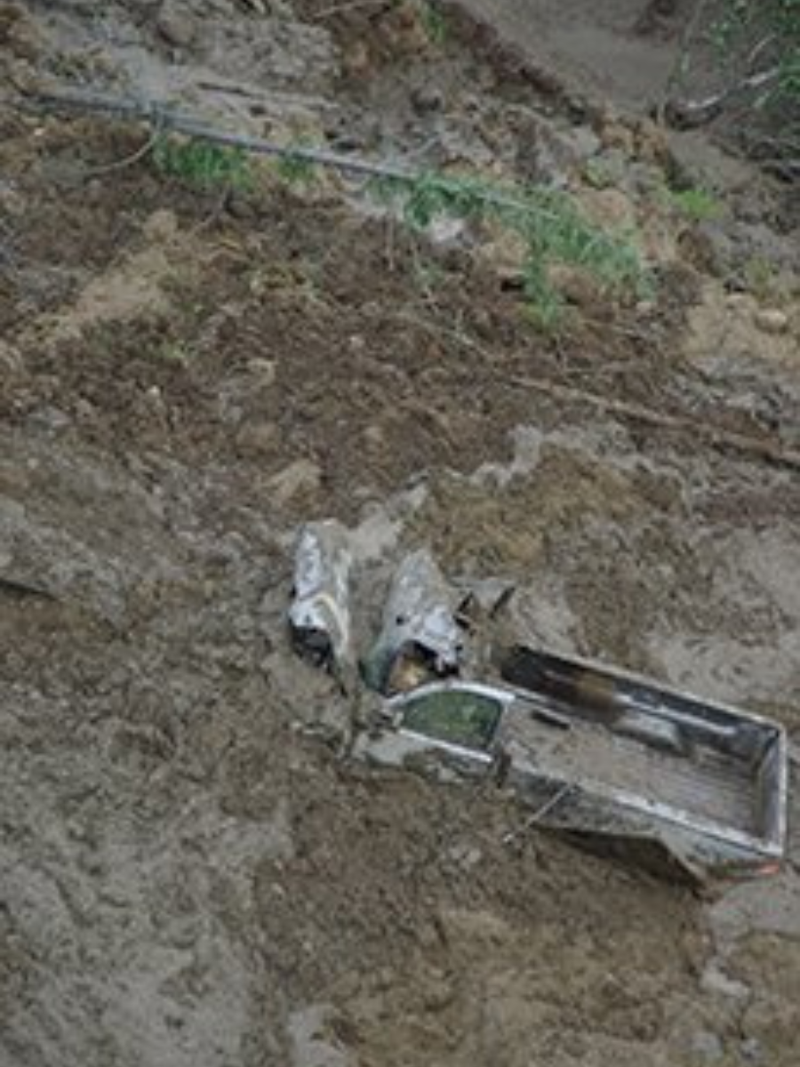
For information about emergency preparedness or to view the Prepared BC's Landslide Information for Home Owners and Home Buyers visit our Emergency Preparedness Page.


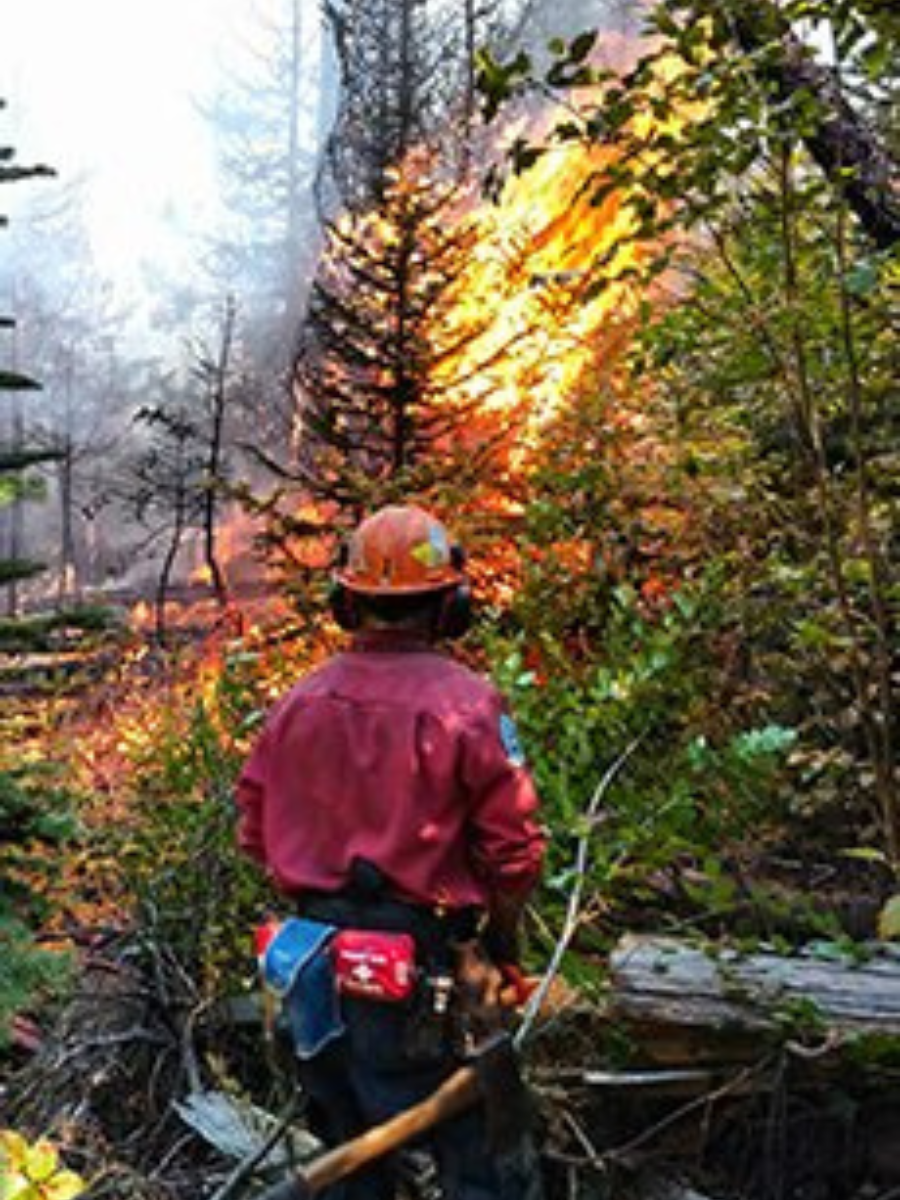
Rezoning and Subdivision may require a wildfire hazard covenant or study.

More information about being prepared for wildfires can be found on our Emergency Preparedness Page.

Contact Us


Zoning
Suite D, 180 North Third Avenue, 
Williams Lake, BC V2G 2A4
Phone: 250-392-3351
Toll-Free: 1-800-665-1636
Email this contact